BAREWAYS Maps
A comprehensive, extendable map service with fully customizable styles to create immersive maps
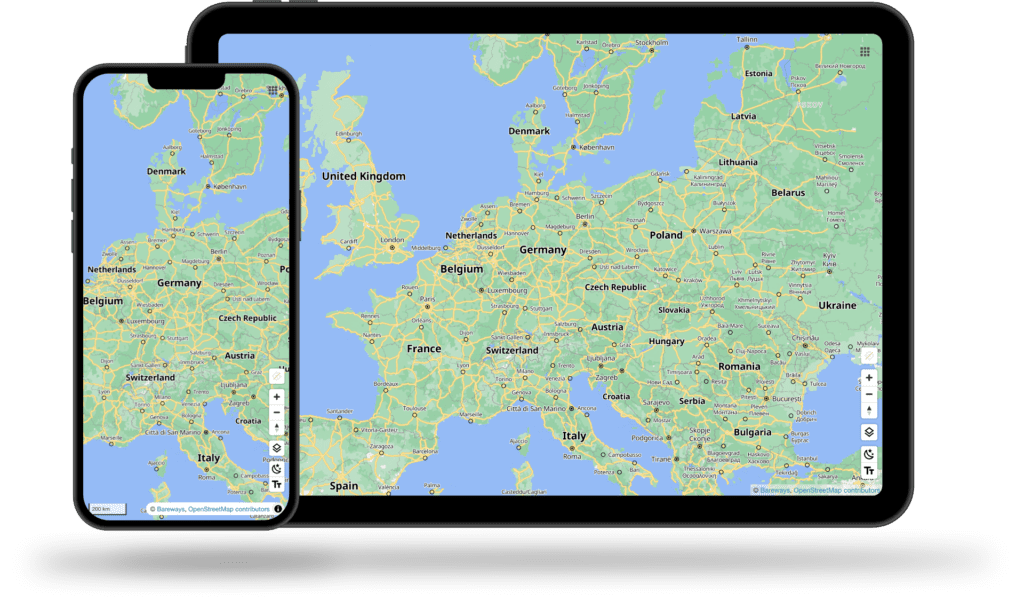
Immersive maps with exceptional Control
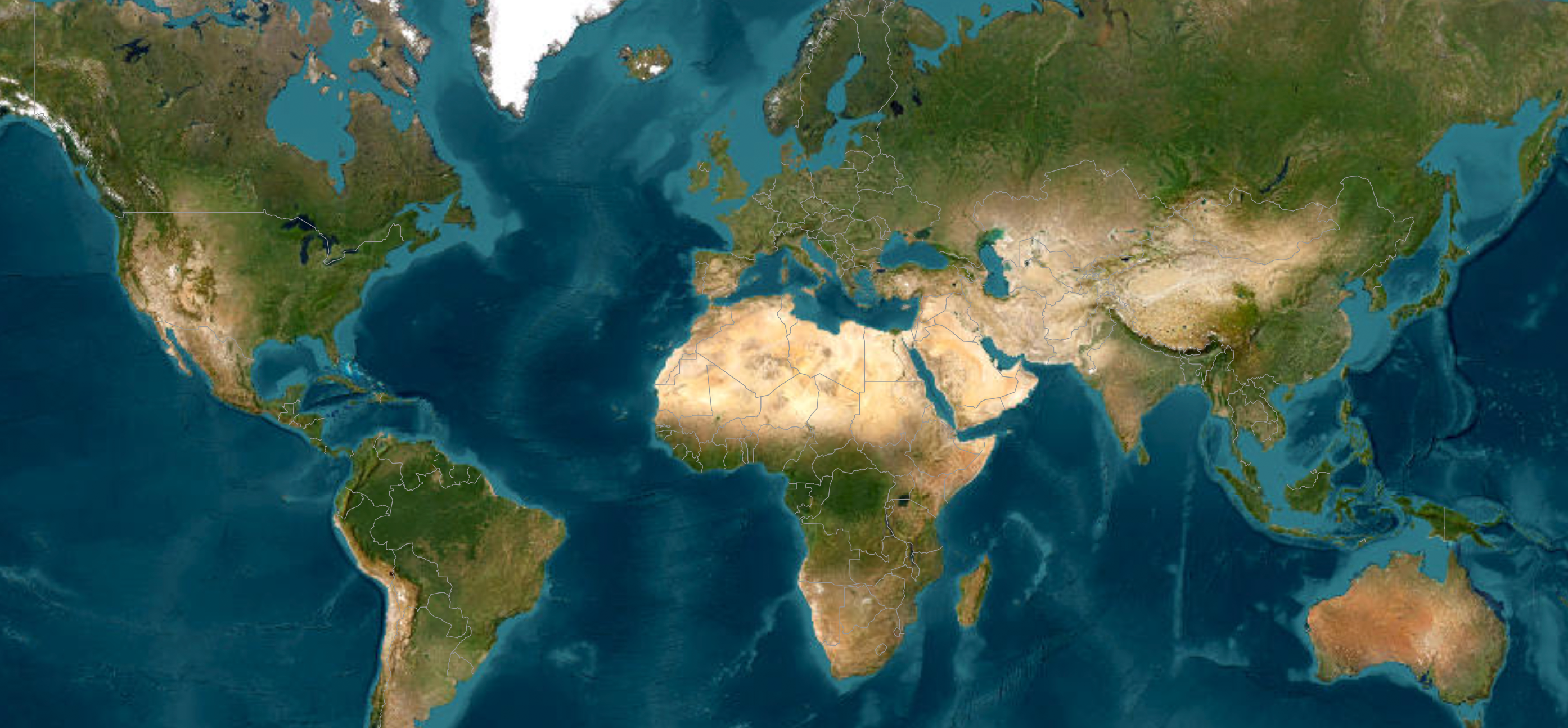
Build stunning map experiences using our unified basemap compiled from open data, international mapping authorities, community-driven portals and curated web resources.
Gain full control over every rendered detail using our comprehensive bundle of developer tools to design custom map styles, perfectly aligned with your brand and product vision.
Rapid Integration, Zero Dependencies
Besides our universal map bundle, our engineering teams are ready to integrate further third-party data on short notice. Our agile process ensures that new sources are available within days to enable quick feedback cycles and minimize the time to market.
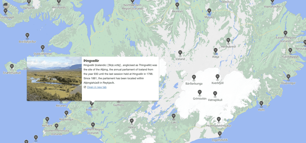
Explore
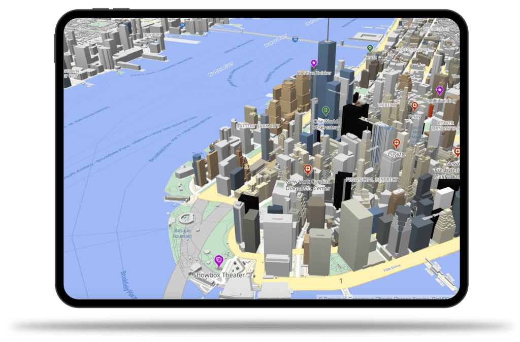
Our universal map layers – basemap, hillshading, contour lines, landcover and terrain – allow to render realistic 3d map views and contain supplementary information to find nearby places, alternative routes, critical road sections or important buildings.
This general purpose map includes all transport lines ranging from motorways to footways, landmarks and points of interest, 3d buildings, land cover and land usage information, terrain, and many more special purpose layers to render an accurate and entertaining map.
Performance-optimized data flow
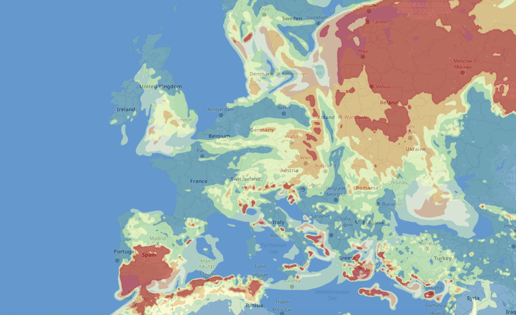
Our smart vectorization algorithms allow to efficiently convert and compress raster data such as weather forecasts or raw satellite imagery to compile smooth, unified map layers.
Benefit from our streamlined data import procedures and multi-level caching architecture or define your own application-specific update cycle and deployment variants.
Universal Compatibility
Our maps are compatible with the Mapbox vector tile format, the OpenMapTiles schema and are ready to use with iOS, Android and JavaScript web applications.
Multi-lingual support and distinct world views allow to build localized and personalized applications.